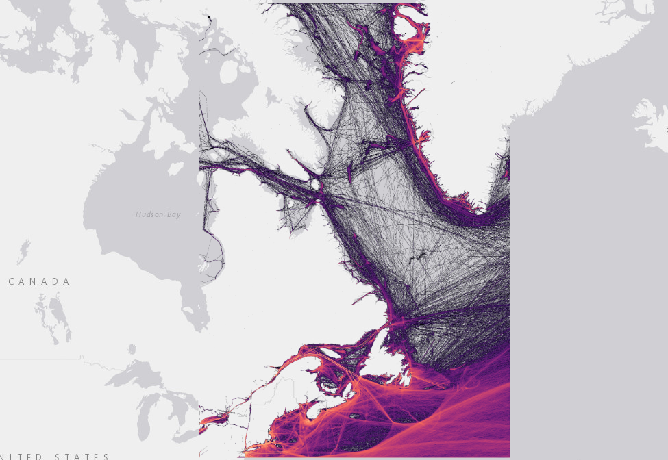
Human activities such as oil pollution, vessel traffic, and artificial light pose increasing threats to marine ecosystems. This project provides an integrated view of anthropogenic stressors in Atlantic Canadian waters through a high-resolution spatiotemporal dataset covering the Exclusive Economic Zone (EEZ) and adjacent areas. By combining open-access and proprietary data sources — including ISTOP, NASP, NEEC, AIS, and VIIRS satellite observations — we modeled risk layers representing petroleum pollution, offshore infrastructure, maritime traffic, and light exposure. These layers were developed using reproducible workflows and are distributed as cloud-optimized GeoTIFFs with detailed metadata. Our approach supports ecosystem-based ocean management by filling critical gaps in cumulative effects assessment and conservation planning, including for vulnerable species such as the Leach’s Storm-Petrel.
Have a project in mind and want to work with us?
Reach out!