01
Practical spatial workflows in R
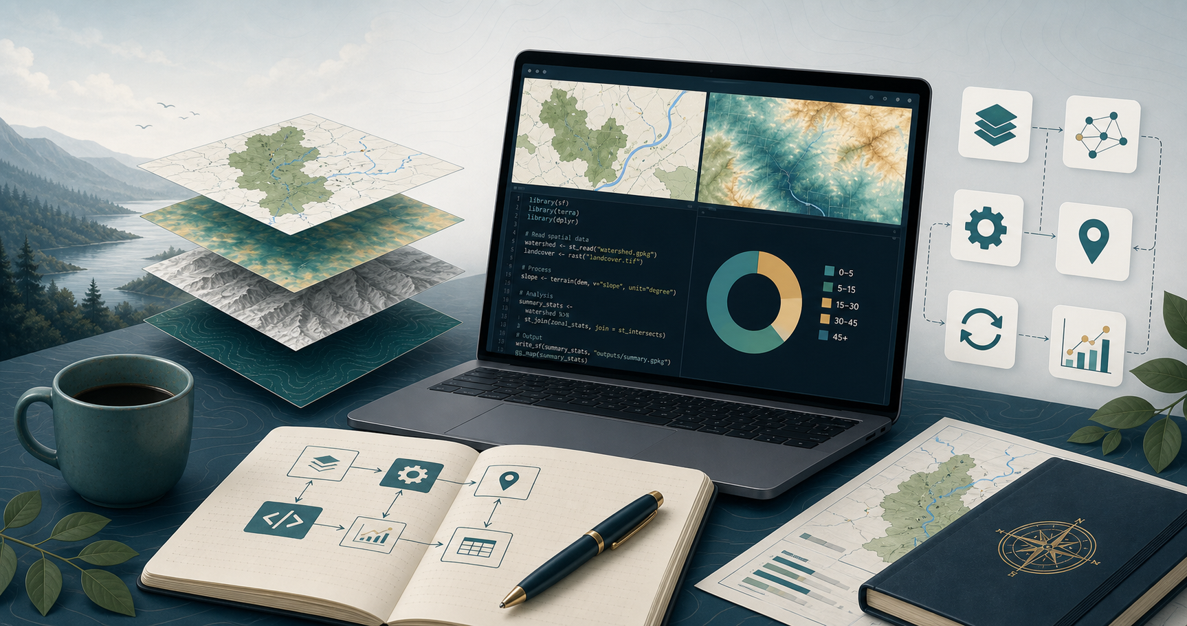
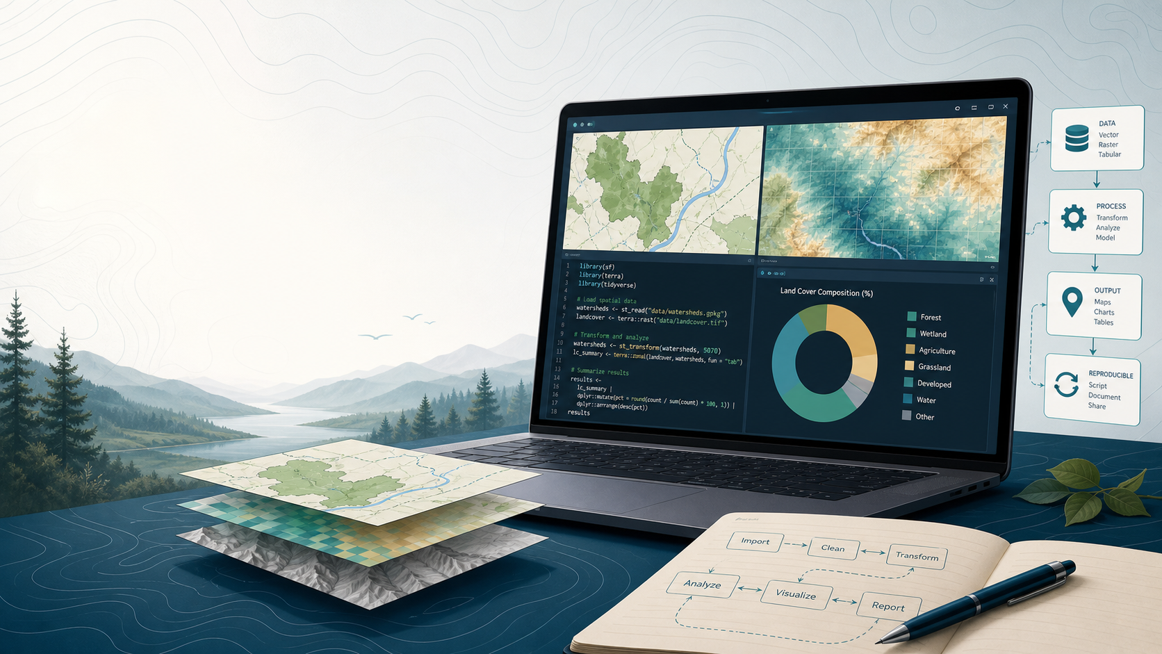
Build reusable workflows that handle real spatial work in R instead of relying on fragmented steps involving multiple tools.
inSileco Academy
A practical coaching offer for environmental professionals who already use R and need clearer, reusable spatial workflows for analysis, mapping, and reporting.
This is a cohort-based coached experience with two half-day sessions and three months of follow-through to help you build practical spatial capability in R on a real project.
What you'll get
Build reusable workflows that handle real spatial work in R instead of relying on fragmented steps involving multiple tools.

Apply the workshop to a real project or workflow context so the work is immediately more relevant and more usable.

The support continues after the live sessions so you can implement, troubleshoot, and turn workshop learning into lasting changes in how you work.
What people are saying
"I will now be able to perform certain tasks that I used to carry out in ArcGIS directly in R, allowing me to avoid going back and forth between the two applications. The training also helped me improve the way I work. The inSileco instructors are very generous in sharing their knowledge. This quality, combined with their humility, reflects their genuine desire to help participants get the most out of R. "
"The training on spatial analysis with R offered by inSileco was highly appreciated for the hands-on exercises with in-person support, the ability to explore both package workflows (terra vs sf+stars), the customization of exercises and code using our own data, and the post-training follow-up. My colleagues have already started generating shareable interactive maps. Despite the dense content, the trainers were qualified and professional, and the personalized follow-up clearly sets this offering apart. "
"The training on spatial analysis with R offered by inSileco was highly appreciated for its integrated workflows (raster + vector), as well as for raster and vector data manipulation. The inSileco team is extremely competent, efficient, and teaches very well. I highly recommend their training on spatial statistics. "
What actually happens over 3 months?
This is not a simple workshop. This is a cohort-based coached experience designed to build practical spatial capacity through preparation, live workshop delivery, and a structured 3-month coaching follow-through.
Before the workshop, you complete a setup and workflow assessment, define your project, and prepare your environment with support.
During the two half-day live sessions, you work through the core practical GIS workflow in R through project-specific exercises, including vector and raster operations for real mapping, analysis, and reporting work.
Afterward, you continue implementing the workflow through biweekly cohort check-ins, individual support, and async review.
How much is it?
$3,500 per participant
This allows us to:
What that includes:
Bonus support and guarantee
More support than a simple workshop, including bonus support and a conditional guarantee.
Bonus support
Conditional guarantee
If a participant:
then we will keep working with them for free until their workflow is working and reusable.
Is this right for me?
This is a strong fit for environmental professionals who already use R and want to improve their spatial workflow through coached application on real work.
Who this is for
Who this is not for
Next step
Start with a short application or conversation. If the fit is strong, we will route you to the next cohort or the right team-delivery path.
Team option
Academy can also be delivered privately for teams that want the same coached structure with examples, pacing, and scope adapted to their own environment.
Private team delivery
Submit your information and we will reach out to schedule a conversation.